Products
We offer solutions that bring clarity to complexity
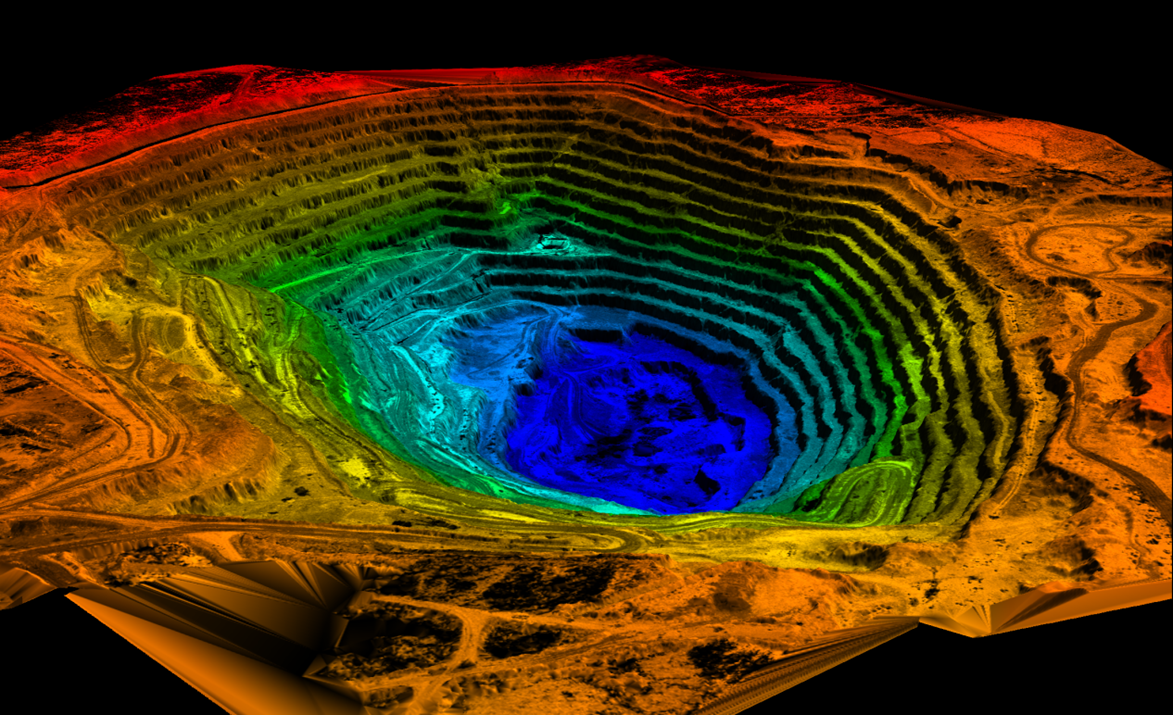
LiDAR and Photogrammetry
- Generate high-resolution terrain data.
- Map dense forest canopies and rugged terrains.
- Enable accurate infrastructure design and resource management
Tech Services
- Professional IT Consulting
- Development Services
- Infrastructure Services
- Organizational Change Management
- Security Optimization
- Mergers & Acquisitions Services
- IT Staff Augmentation Services
- Collaboration & Communication
- SAAS
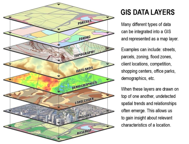
GIS Mapping
- Create detailed and customizable geospatial maps.
- Visualize critical data for decision-making.
- Support sustainable planning and development projects.
- Support heritage conservation through detailed spatial analysis.
- Create interactive maps to visualize and manage heritage assets
Geological Survey
- Identify mineral deposits and geological structures.
- Perform non-invasive, precise subsurface analysis.
- Enhance exploration efficiency and reduce costs
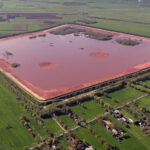
Environmental Assessment Reporting
- Use geospatial data for ecosystem and resource analysis.
- Generate reports for environmental compliance and sustainability.
- Support climate change monitoring and mitigation efforts.
- Analyze solar potential and land suitability for solar energy projects
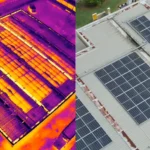
Solar Farm Inspections
- Support climate change monitoring and mitigation efforts.
- Analyze solar potential and land suitability for solar energy projects
Get Started with Our Products
Contact Us for our packages & offering the best prices in the region